Rocky Mountain Conservancy logo

What are you searching for?

Popular searches...

Find eventsFind Bus ToursFind ProgramsVolunteer Opportunities
Donate Now

Map – Longs Peak Bear Lake/WildBasin Trails Illustrated Topographic

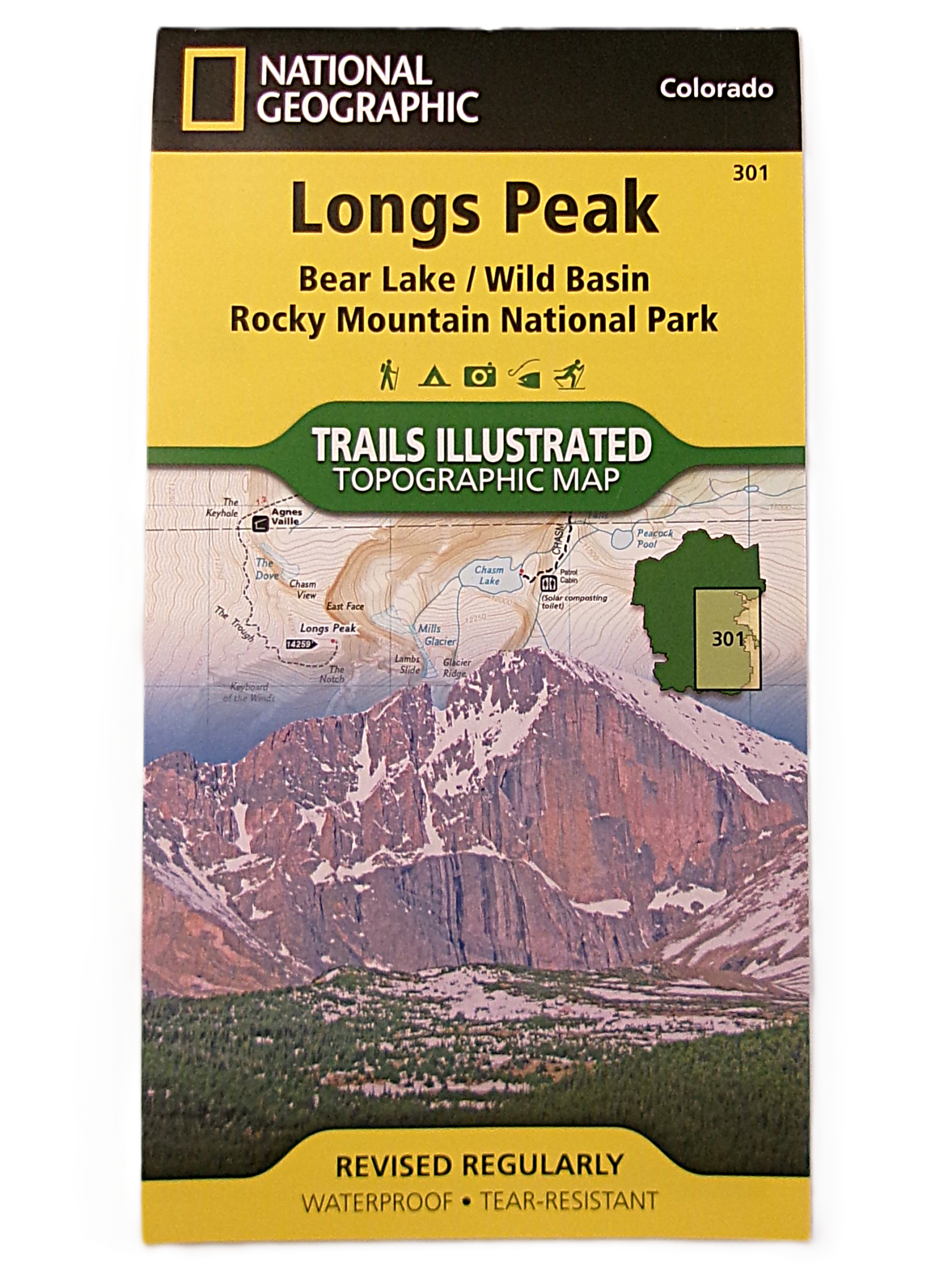
by National Geographic The Trails Illustrated topographic map is the most comprehensive and complete recreational map for the Longs Peak, Bear Lake and Wild Basin areas of Rocky Mountain National Park in Colorado. The map’s shaded relief makes it easy to see the lay-of-the-land, and it has a full UTM grid for use with a GPS. Approximately 4″ x 7 1/2″ folded; 22″ x 32″ fully opened. Scale = 1:25,000

$11.95

Member Price: $10.16

In stock

Back to Shop

Your purchase helps care for Rocky.

The Conservancy store turns everyday park essentials into support for education programs, stewardship projects, visitor services, and conservation partnerships throughout Rocky Mountain National Park.